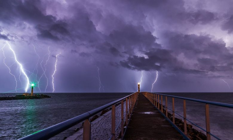
Most lightning over the open ocean was once poorly recorded, because ground-based detection networks work best near populated coasts and instruments on land. Lightning mappers carried on weather satellites have changed that picture by watching entire ocean basins day and night, recording flashes inside storm clouds as systems form, mature and weaken far from shore. Forecasters use sudden increases in flash rate as one clue that a storm is intensifying, since vigorous updrafts inside a cloud tend to produce more electrical activity. For shipping, offshore energy crews and aircraft crossing busy ocean routes, better information about where the most active storms are developing can support safer routing and earlier precautions during unsettled weather at sea. Oceanic storms are especially important because they can strengthen for days unseen before reaching islands or coastlines, so a continuous lightning record gives forecasters an earlier sense of which systems deserve closest attention as they travel across open water.
What the Evidence Shows
Scientists are also using the long satellite record to study how lightning patterns differ between coastal storms, tropical systems and mid-latitude fronts, and whether those patterns are shifting as oceans warm. They are careful not to treat lightning as a stand-alone forecast, combining it instead with radar, satellite cloud images and atmospheric measurements. The combined view is especially valuable in regions with few weather stations, where a satellite may provide the first clear sign of a dangerous storm. What was once visible only as a brief flash in a dark sky is now a continuous data stream, helping researchers understand storms as connected systems rather than isolated events. Researchers are now comparing those records with ocean temperature and wind data to understand why some storms produce extraordinary amounts of lightning while others, apparently similar in size, remain comparatively quiet throughout their lives over the sea. Reporting and analysis from sources such as National Science Foundation track the same developments, and specialists following lightning mapping from space say the direction is now consistent across independent lines of evidence.
The Wider Context
The wider context is a research landscape in which replication and open data now decide reputations. Findings connected to lightning mapping from space are being checked by independent groups with shared datasets, and the teams involved publish their methods in full so rivals can test every step. That discipline is slower than a headline cycle, but it is why results in this area increasingly survive first contact with scrutiny.
What Happens Next
What happens next in the story of lightning mapping from space will be decided by follow-up work already under way: larger samples, longer observation and instruments that have not yet come online. The researchers involved are unusually united on one point, that the current results justify the next investment of time and money. Readers will not have to wait long for the first tests of that claim. You can follow related developments in our coverage of science.
There is a practical lesson in all of this for readers deciding what to do today. Start with the verified facts, be wary of anyone promising certainty, and prefer reversible steps while the evidence is still developing. Circumstances differ by country, income and personal situation, so general guidance should always be weighed against your own context before you act on it in any significant or lasting way.